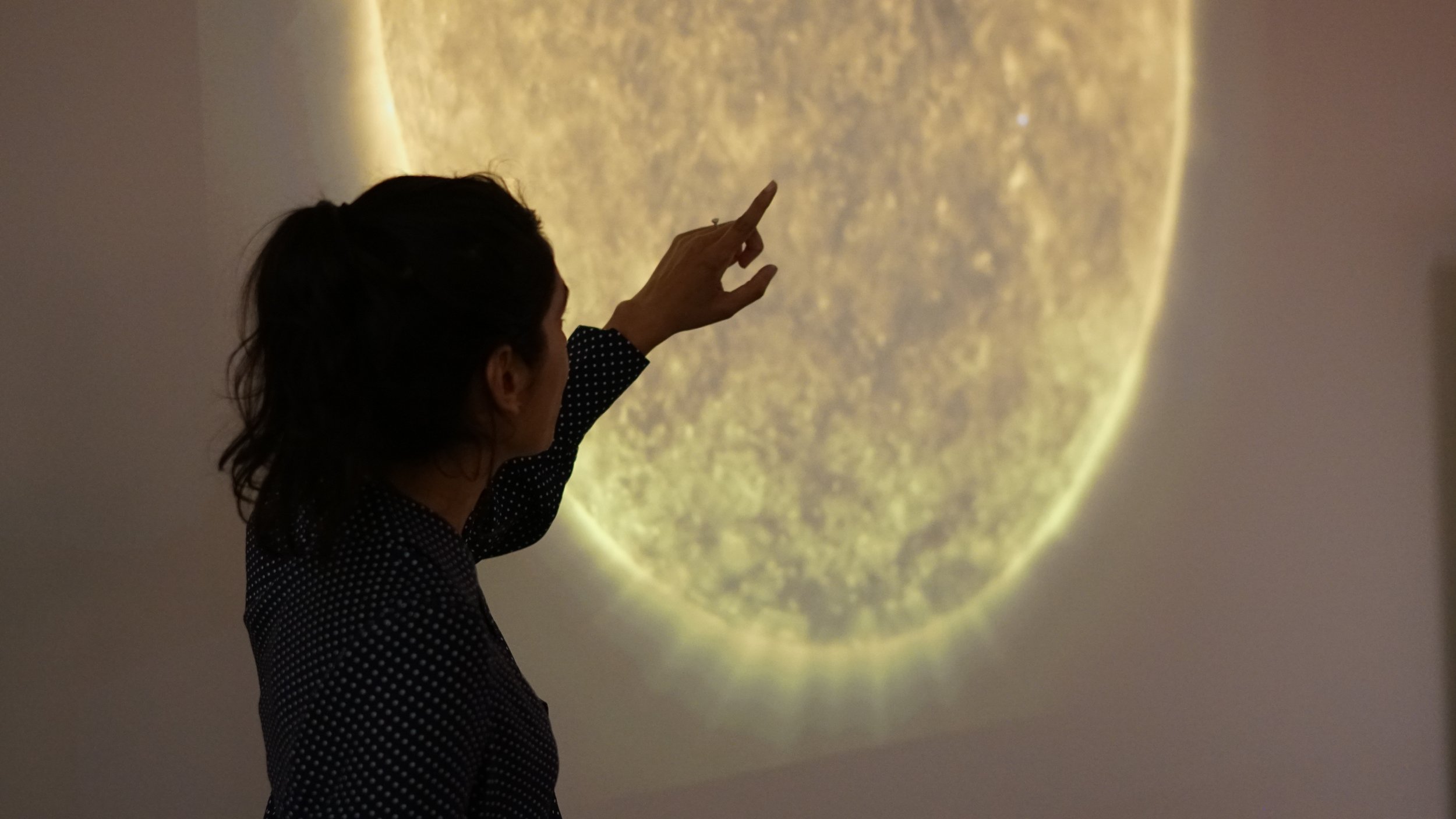
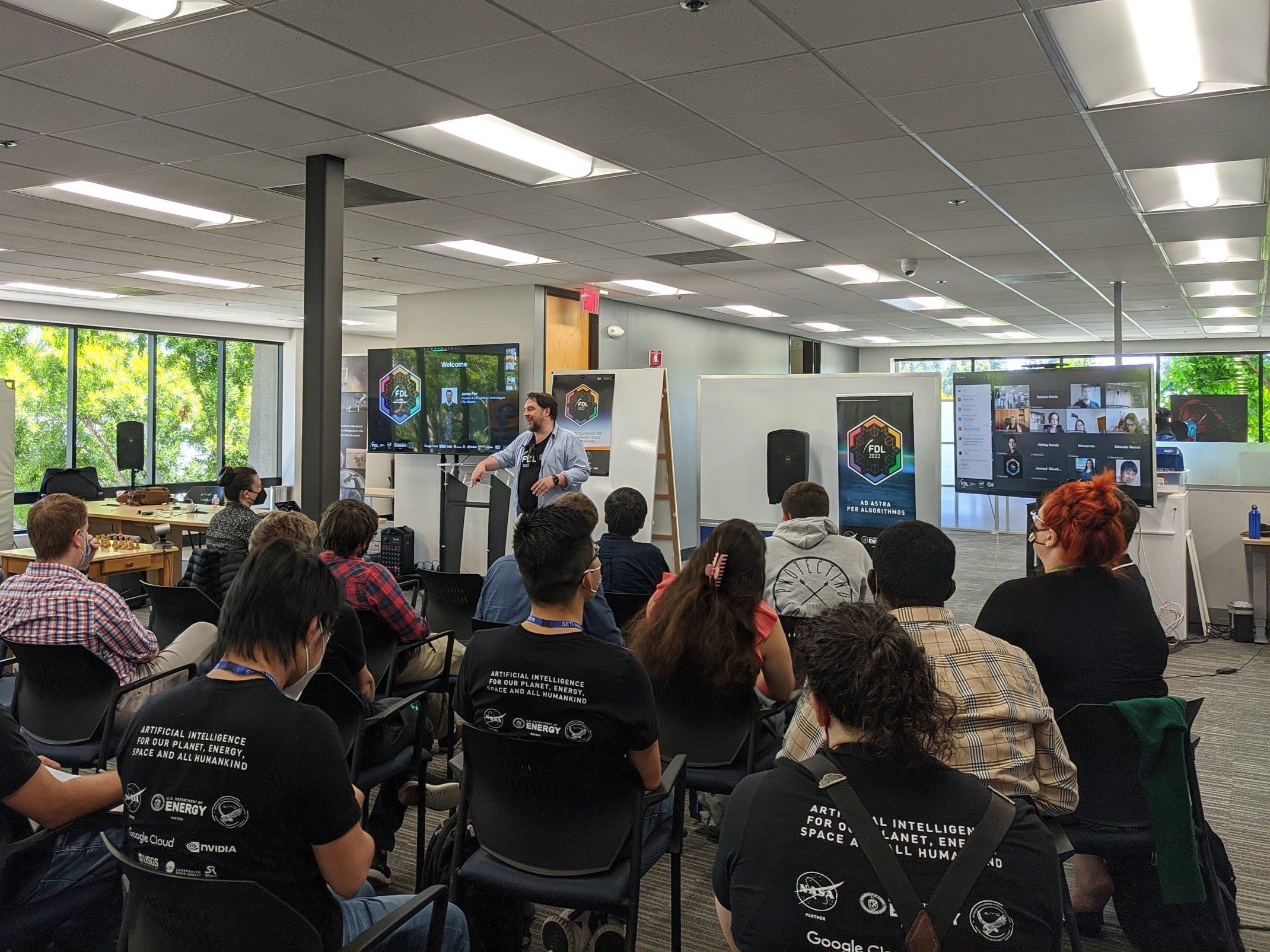
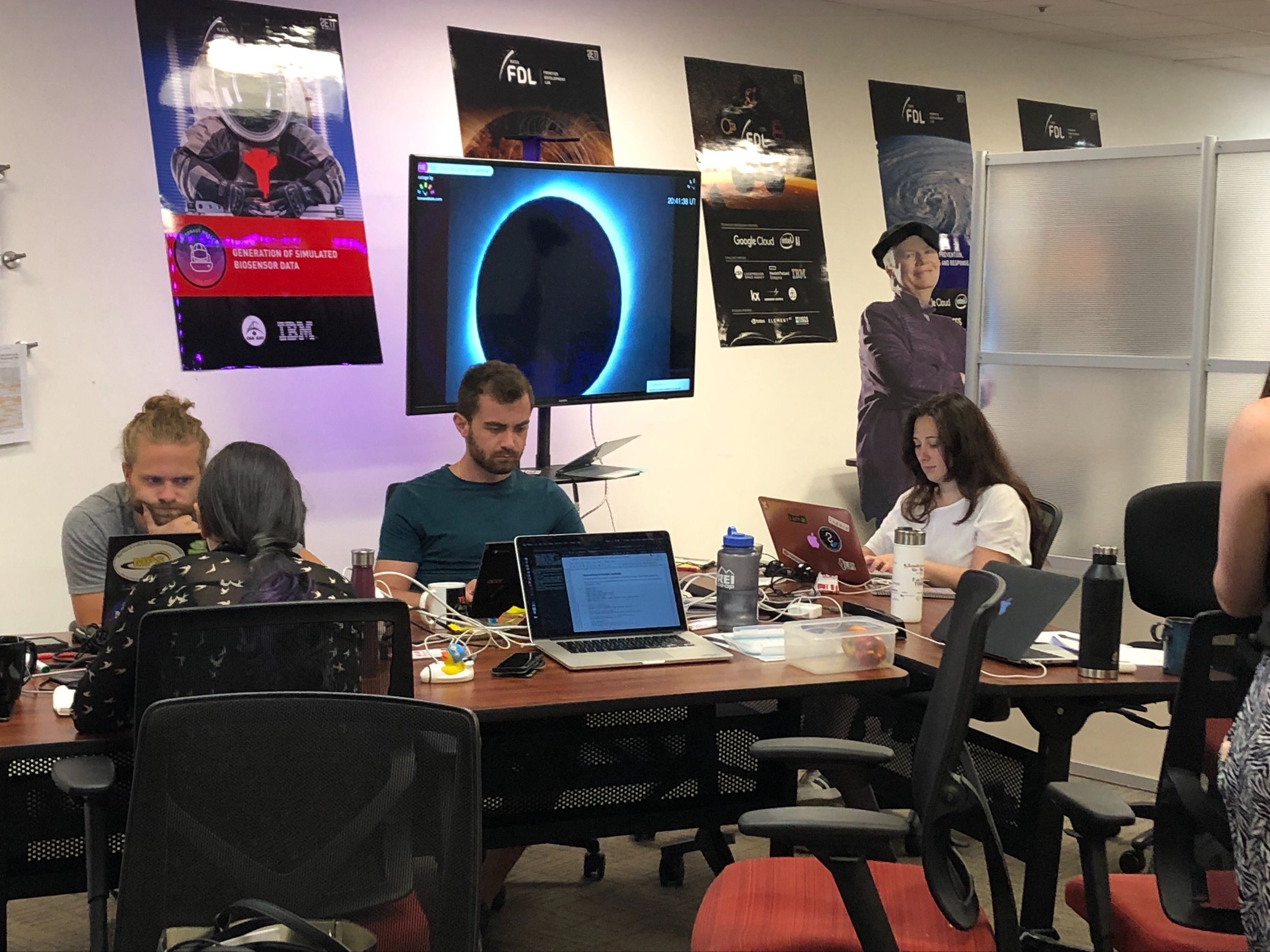
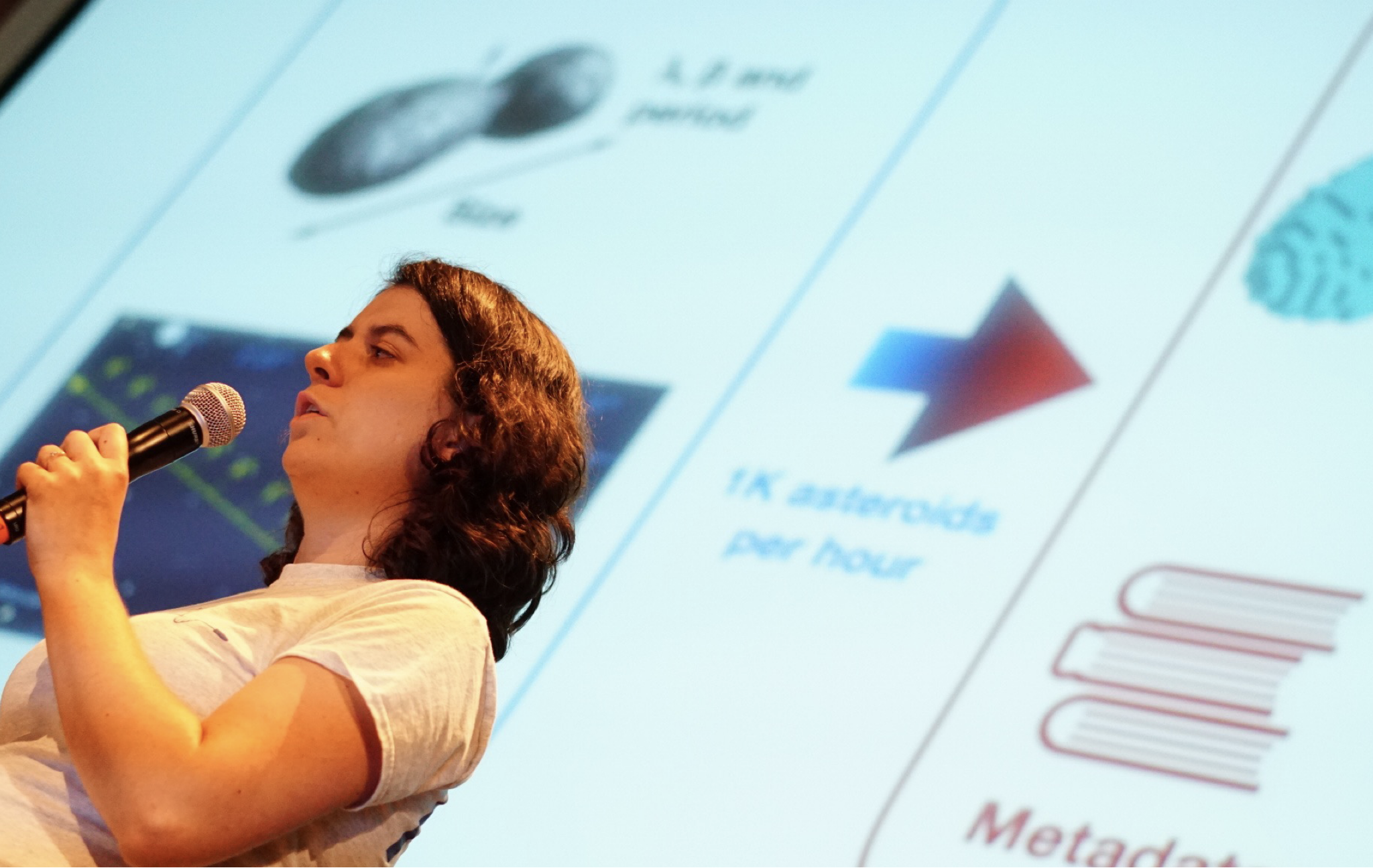
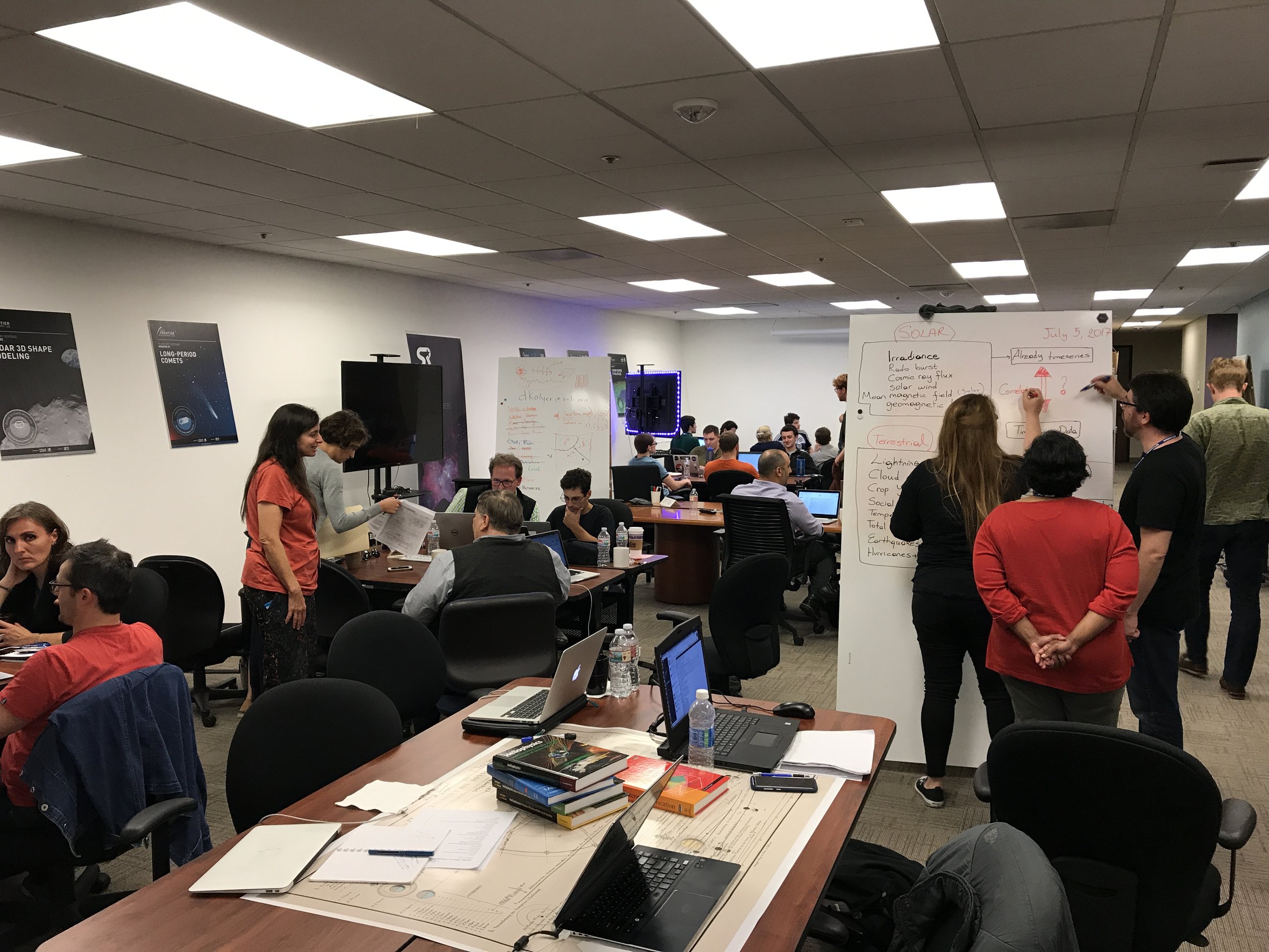
FDL 2020
In 2020 FDL continued to develop our portfolio of research in Heliophysics and lunar exploration as well as tackling open challenges in Earth science and Exploration Medicine / Astronaut health.


Navigate to research area


HELIOPHYSICS
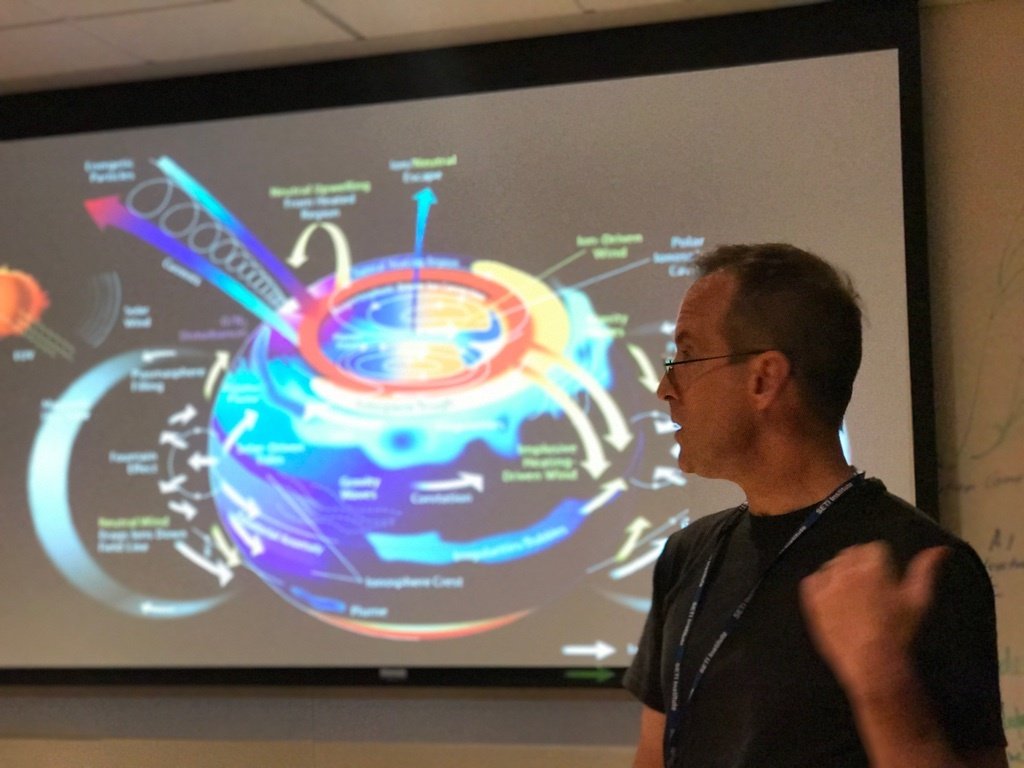
TRACKING THE GEOEFFECTIVENESS OF SOLAR STORMS
ML can learn to reconstruct the causal pathways of solar wind interactions propagating through our ionosphere, and aid scientists in piecing together the effects of space weather on the Earth’s magnetosphere.


-
-
Determining Geoeffectiveness with Deep Learning
Authors: Banafsheh Ferdousi, Vishal Upendran, Téo Bloch, Panagiotis Tigas,
Mentors: , Mark Cheung, Siddha Ganju, Ryan McGranaghan, Yarin Gal , Asti Bhatt -
Global Geomagnetic Perturbation Forecasting Using Deep Learning - DOI - ArXiv
Authors: Vishal Upendran, Panagiotis Tigas, Banafsheh Ferdousi, Téo Bloch, Mark C. M. Cheung, Siddha Ganju, Asti Bhatt, Ryan M. McGranaghan, Yarin Gal
Global Earth Magnetic Field Modeling and Forecasting with Spherical Harmonics Decomposition - DOI
Authors: Panagiotis Tigas, Téo Bloch, Vishal Upendran, Banafsheh Ferdoushi, Yarin Gal, Siddha Ganju, Ryan M. McGranaghan, Mark C. M. Cheung, Asti Bhatt.
-
NeurIPS 2020 ML4PS - Global Earth Magnetic Field Modeling and Forecasting with Spherical Harmonics Decomposition
Authors: Panagiotis Tigas, Téo Bloch, Vishal Upendran, Banafsheh Ferdoushi, Yarin Gal, Siddha Ganju, Ryan M. McGranaghan, Mark C. M. Cheung, Asti Bhatt.
AGU 2020 - Determining new representations of "Geoeffectiveness" using deep learning
Authors: Panagiotis Tigas, Téo Bloch, Vishal Upendran, Banafsheh Ferdoushi, Yarin Gal, Siddha Ganju, Ryan M. McGranaghan, Mark C. M. Cheung, Asti Bhatt.
COSPAR2021 Machine Learning for Space Sciences - Modeling and forecasting ground geomagnetic perturbations using deep learning on spherical harmonics
Authors: Panagiotis Tigas, Téo Bloch, Vishal Upendran, Banafsheh Ferdoushi, Yarin Gal, Siddha Ganju, Ryan M. McGranaghan, Mark C. M. Cheung, Asti Bhatt.
American Meteorological Society 100th annual meeting - Forecasting Ground Magnetic Perturbation Using Deep Learning on Spherical Harmonics
Authors: Panagiotis Tigas, Téo Bloch, Vishal Upendran, Banafsheh Ferdoushi, Yarin Gal, Siddha Ganju, Ryan M. McGranaghan, Mark C. M. Cheung, Asti Bhatt.
-
Gitlab - GeoeffectiveNet

HELIOPHYSICS
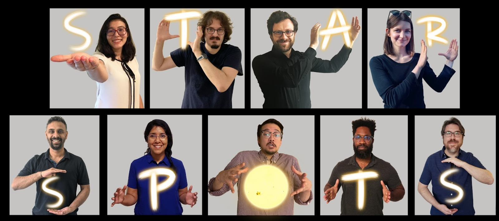
STARSPOTS
STELLAR SURFACE FEATURES FROM EXOPLANETARY TRANSITS
ML can learn from faint starlight observations, to explain luminance dips through competing plausible hypotheses in terms of extrasolar transits, spot formation, and the rotational characteristics of each star.


-
-
Heliophysics: Starspots
Authors: Daylan, Tansu; Gavilan, Lisseth; Giles, Daniel, Ishitani Silva, Stela; Johnson, J. Emmanuel; Jungbluth, Anna; Morris, Brett; Muñoz Jaramillo, Andrés; Sundaresan, Sairam .
-
RotNet: Fast and Scalable Estimation of StellarRotation Periods Using Convolutional NeuralNetworks - DOI
Authors: J. Emmanuel Johnson, Sairam Sundaresan, Tansu Daylan, Lisseth Gavilan, Daniel K. Giles, Stela Ishitani Silva, Anna Jungbluth, Brett Morris, Andrés Muñoz-Jaramillo
-
Neurips 2020 ML4PS - RotNet: Fast and Scalable Estimation of Stellar Rotation Periods Using Convolutional Neural Networks
Authors: J. Emmanuel Johnson, Sairam Sundaresan, Tansu Daylan, Lisseth Gavilan, Daniel K. Giles, Stela Ishitani Silva, Anna Jungbluth, Brett Morris, Andrés Muñoz-Jaramillo
-
Gitlab - Starspot Coverage And Rotation

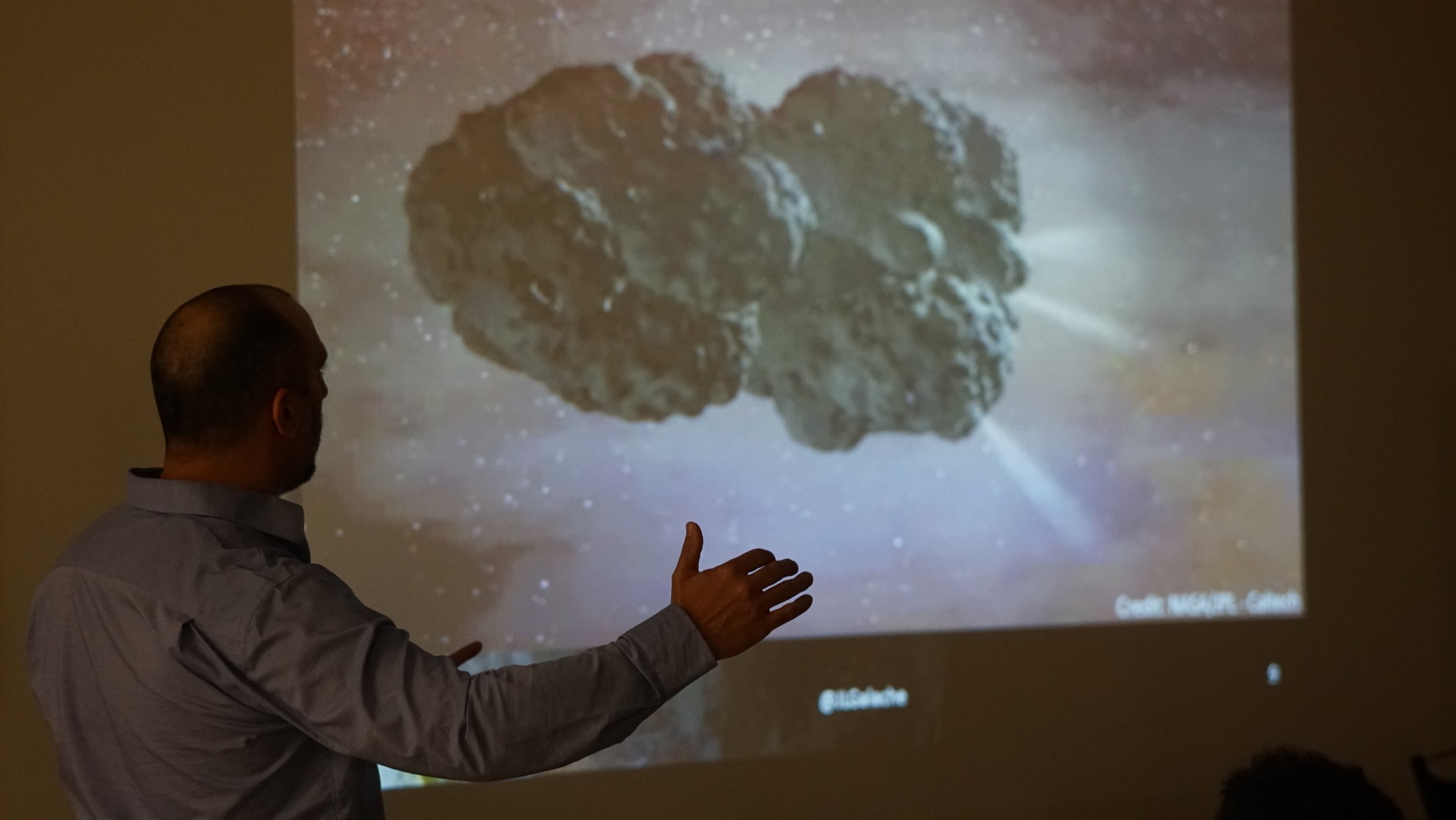
PLANETARY SCIENCE
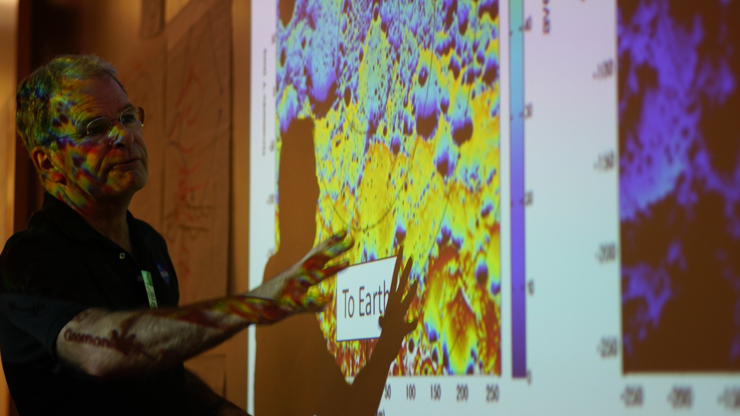
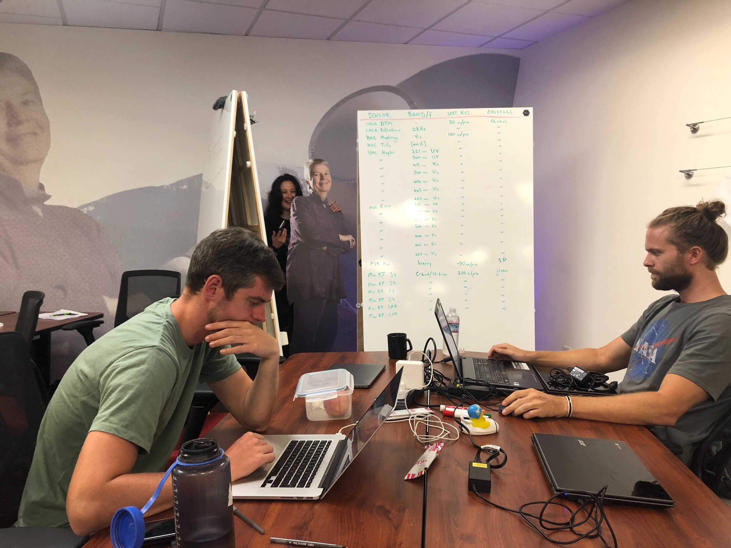
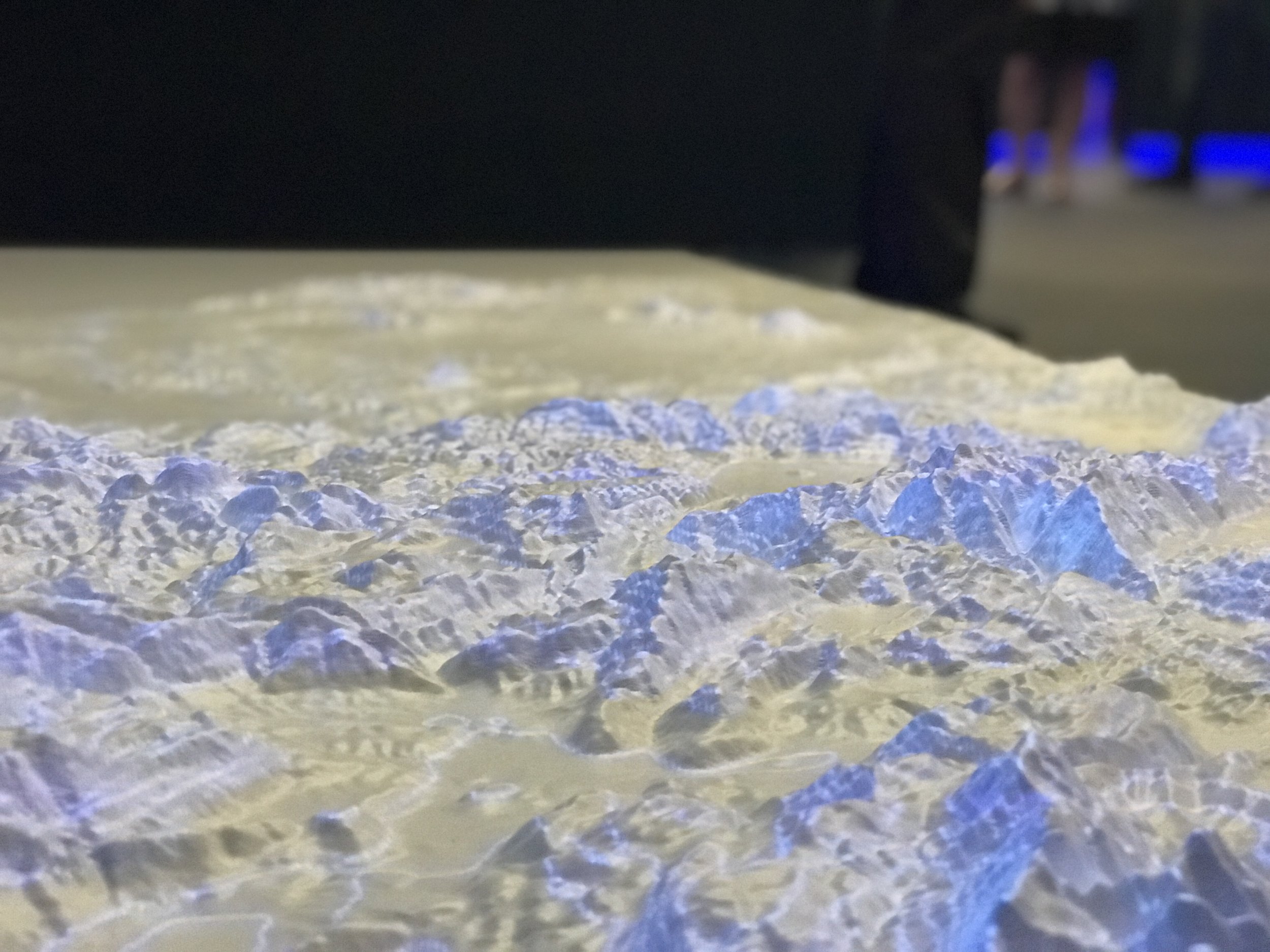
MOON ENGINE: MOON FOR GOOD, PHASE II
ML Can Learn To Enhance The Light In Faint Images Of Permanently Shadowed Regions Of Craters, To Aid Sustainable Missions On The Moon That Depend On Ice Deposits.


-
-
Moon Engine: Moon For Good, Phase II
Authors:
Ben Moseley, Valentin Tertius Bickel, Ignacio G. López-Francos, Loveneesh Rana,
Advisors: Allison Zuniga, Dennis Wingo, Miguel Olivares-Mendez -
Nature Communications - Peering into lunar permanently shadowed regions with deep learning - DOI
Authors: Ben Moseley, Valentin Bickel, Ignacio G. López-Francos, Loveneesh Rana, Miguel Olivares-Mendez, Dennis Wingo, Allison Zuniga, Nuno Subtil.
-
NeurIPS 2020 - Low-light image enhancement of permanently shadowed lunar regions with physics-based machine learning - Poster - Orbilu
Authors: Moseley, Ben; Bickel, Valentin; Lopez-Francos, Ignacio; Rana, Loveneesh; Olivares Mendez, Miguel Angel; Wingo, Dennis; Zuniga, Allison; Subtil, Nuno; D’Eon, Eugene.NVIDIA GTC 2021 - Low-Light Image Enhancement of Permanently Shadowed Lunar Regions with Physics-Based Machine Learning
Authors: Moseley, Ben; Bickel, Valentin; Lopez-Francos, Ignacio; Rana, Loveneesh; Olivares Mendez, Miguel Angel; Wingo, Dennis; Zuniga, Allison; Subtil, Nuno; D’Eon, Eugene.
51st Lunar and Planetary Science Conference - A big data and AI-driven approach for anomaly detection on the lunar surface
Authors: Moseley, Ben; Bickel, Valentin; Lopez-Francos, Ignacio; Rana, Loveneesh; Olivares Mendez, Miguel Angel; Wingo, Dennis; Zuniga, Allison; Subtil, Nuno; D’Eon, Eugene.
-
Spaceml.org - HORUS (Hyper-effective nOise Removal Unet Software)

PLANETARY SCIENCE
ASTRONAUT HEALTH
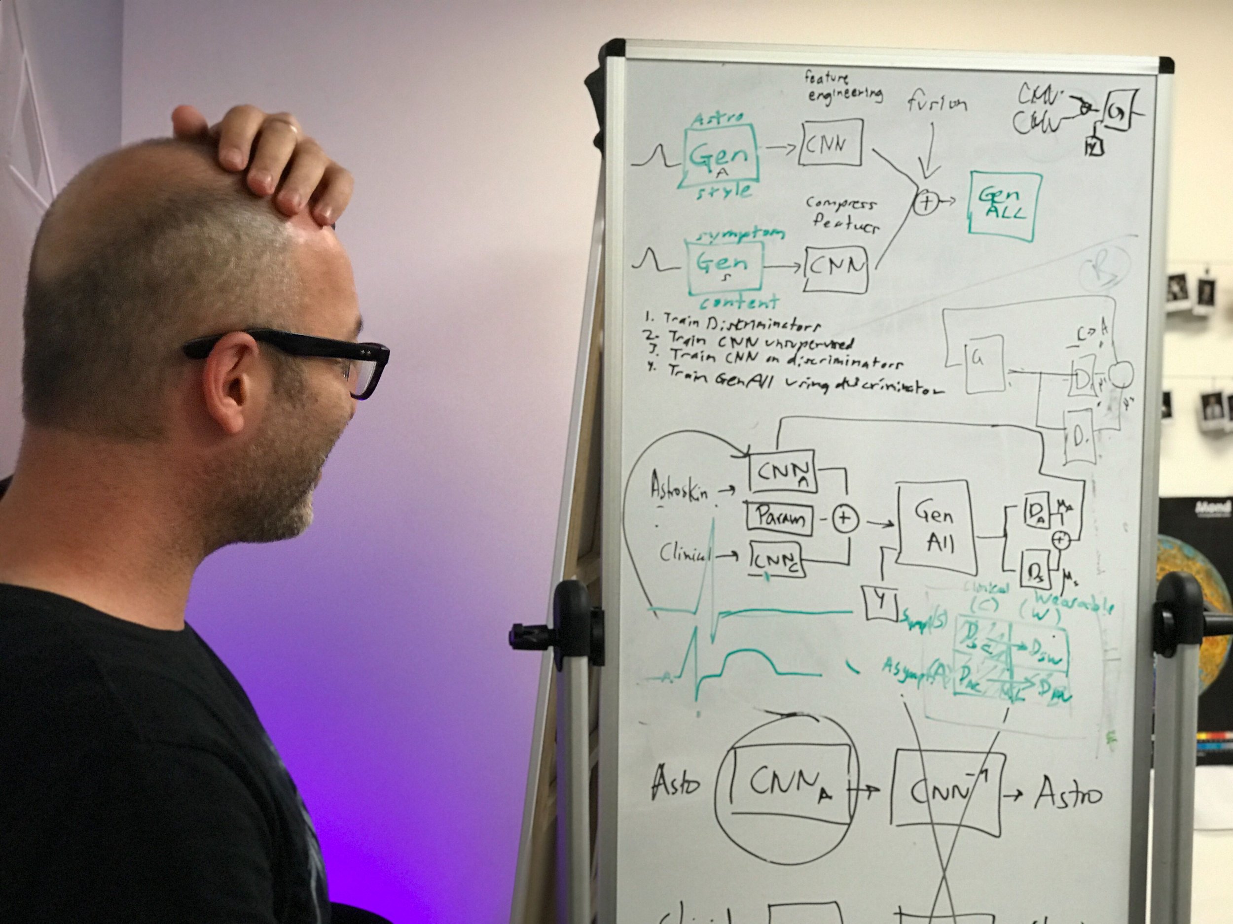
Long duration missions and cancer: a testbed for building causal inference methods
ML can learn to isolate causes of cancer in high-dimensional heterogeneous omics data, and help scientists design early interventions to reduce cancer risk during space missions


-
-
Planetary Science: Astronaut Health
Authors: Arno Blaas, Samuel Budd, Adrienne Hoarfrost, Kia Khezeli, Krittika D’Silva, John Kalantari, Graham Mackintosh, Frank Soboczenski. -
IEEE LifeTech 2021 / NASA HRP IWS 2021 - Prototyping CRISP: A Causal Relation and Inference Search Platform applied to Colorectal Cancer Data - DOI
Authors: Arno Blaas, Samuel Budd, Adrienne Hoarfrost, Kia Khezeli, Krittika D’Silva, John Kalantari, Graham Mackintosh, Frank Soboczenski. -
Gitlab - CRISP

EARTH SCIENCE
LIGHTNING AND EXTREME WEATHER
ML can learn to detect lightning and cloud plumes in a sequence of satellite images, that indicate imminent severe weather, and halve the false alarms produced by current systems.


-
-
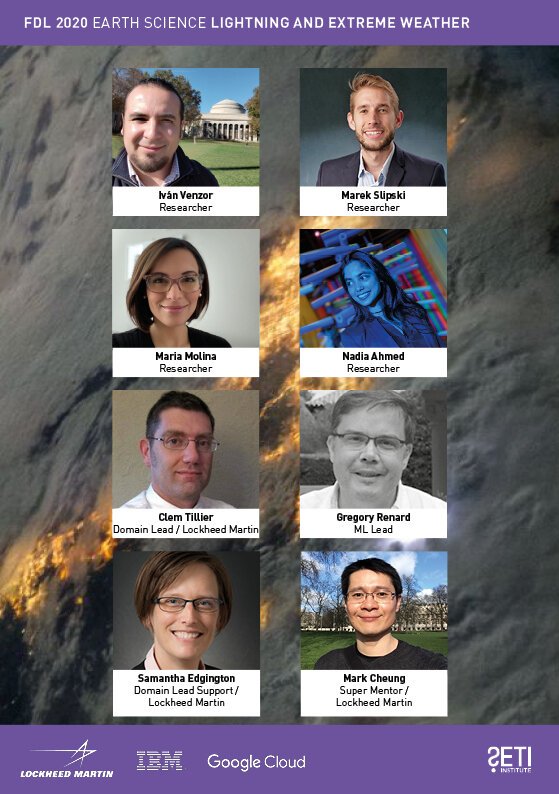
Earth Science: Lightning and Extreme Weather
Authors:Marek Slipski, Iván Venzor-Cárdenas, Maria J. Molina, Nadia Ahmed, Mark Cheung, Clem Tillier, Samantha Edgington, Greg Renard. -
American Meteorological Society Conference - Short-term Prediction of Severe Thunderstorm Hazards with Machine Learning and the Geostationary Lightning Mapper
Authors: Maria J. Molina, Ivan Venzor, Marek Slipski, Nadia Ahmed, Mark CM Cheung, Clemens Tillier, Samantha Edgington, Gregory Renard
COSPAR 2021 - Severe Weather Prediction Using Lightning Data
Authors: Maria J. Molina, Ivan Venzor, Marek Slipski, Nadia Ahmed, Mark CM Cheung, Clemens Tillier, Samantha Edgington, Gregory Renard
COSPAR 2021 - Short-Term Prediction of Severe Thunderstorm Hazards with ML and the Geostationary Lightning Mapper
Authors: Iván Venzor-Cárdenas, Nadia Ahmed, Maria J. Molina, Marek Slipski, Mark Cheung, Clem Tillier, Samantha Edgington, Greg Renard
NeurIPS 2020 AI4ES - Leveraging Lightning with Convolutional Recurrent AutoEncoder and ROCKET for Severe Weather Detection
Authors: Nadia Ahmed, Marek Marek Slipski, Iván Venzor-Cárdenas, Maria J. Molina, Greg Sénay, Mark Cheung, Clem Tillier, Samantha Edgington, Greg Renard.
NeurIPS 2020 - LatinX in AI - Severe Weather Prediction Using Lightning Data
Authors: Nadia Ahmed, Marek Marek Slipski, Iván Venzor-Cárdenas, Maria J. Molina, Greg Sénay, Mark Cheung, Clem Tillier, Samantha Edgington, Greg Renard.
Nvidia GTC 2021 - Severe Weather Prediction Using Lightning Data
Authors: Iván Venzor-Cárdenas, Nadia Ahmed, Maria J. Molina, Marek Slipski, Mark Cheung, Clem Tillier, Samantha Edgington, Greg Renard.
-
Gitlab - Lightning and Extreme Weather

EARTH SCIENCE
WATERS OF THE UNITED STATES
ML can learn to map water streams down to 5m wide and estimate their flow frequency, daily, by fusing high-resolution satellite imagery with LiDAR sensor data, to create fundamentally new dynamic hydrology maps and help manage our water resources.


-
-
Earth Science: Waters of the United States
Authors: Hannes Bernhardt, Dolores García, Ron Hagensieker, Gonzalo Mateo-García, Ignacio López-Francos, Jonathan Stock, Guy Schumann, Kevin Dobbs, Freddie Kalaitzis -
Pix2Streams: Dynamic Hydrology Maps from Satellite-LiDAR Fusion - DOI
Authors: Dolores Garcia, Gonzalo Mateo-Garcia, Hannes Bernhardt, Ron Hagensieker, Ignacio G. Lopez Francos, Jonathan Stock, Guy Schumann, Kevin Dobbs, Freddie Kalaitzis.
Water monitoring with Very High Resolution satellite imagery - DOI
Authors: Freddie Kalaitzis, Gonzalo Mateo Garcia, and Giovanni Marchisio
-
NeurIPS 2020 AI4Earth - Dynamic Hydrology Maps from Satellite-LiDAR Fusion - Video
Authors: Dolores Garcia, Gonzalo Mateo-Garcia, Hannes Bernhardt, Ron Hagensieker, Ignacio G. Lopez-Francos, Jonathan Stock, Guy Schumann, Kevin Dobbs, Freddie Kalaitzis.
Nvidia GTC 2021 - Where Are the Earth's Streams Flowing Right Now? Dynamic Hydrology Maps from Satellite - LiDAR Fusion
Authors: Dolores Garcia, Freddie Kalaitzis, Gonzalo Mateo Garcia, Hannes Bernhardt, Ron Hagensieker.
EGU 2021 - Water monitoring with Very High Resolution satellite imagery - Deck
Authors: Freddie Kalaitzis, Gonzalo Mateo Garcia, Giovanni Marchisio
International Surface Velocimetry Workshop 2021 - Water monitoring with Very High Res satellite imagery from Planet Labs
Authors: Dolores Garcia, Gonzalo Mateo-Garcia, Hannes Bernhardt, Ron Hagensieker, Ignacio G. Lopez Francos, Jonathan Stock, Guy Schumann, Kevin Dobbs, Freddie Kalaitzis
-
Gitlab - WOTUS

EARTH SCIENCE
KNOWLEDGE DISCOVERY FRAMEWORK
ML can learn to search for similar images in Earth Observation archives with decades of atmospheric imagery based on the characteristics of a single query image, and help scientists curate our collective knowledge hidden in our archives.


-
-
Earth Science: Knowledge Discovery Framework
Researchers: Megs Seeley, Francesco Civilini, Nishan Srishankar, and Satyarth Praveen
Mentors: Anirudh Koul, Anamaria Berea, Hesham El-Askary. -
AGU 2020 - Knowledge Discovery Framework: Deep Learning Applications for Remote Sensing
Authors: Megan Seeley, Francesco Civilini, Satyarth Praveen, Nishan Srishankar, Anirudh Koul, Anamaria Berea, Hesham Moahem El-Askary

EARTH SCIENCE
THE EARTH INTELLIGENCE ENGINE
ML can learn to generate synthetic satellite images of future coastal flooding that are physically consistent and photorealistic, enabling experts to communicate flood risks more effectively to decision-makers.


-
-
Physics-informed GANs for coastal flood visualization
Authors: Björn Lütjens, Brandon Leshchinskiy, Christian Requena-Mesa, Farrukh Chishtie, Natalia Díaz-Rodriguez, Océane Boulais, Aaron Piña, Dava Newman, Alexander Lavin, Yarin Gal, Chedy Raïssi. -
Physics-informed GANs for Coastal Flood Visualization - DOI
Authors: Björn Lütjens, Brandon Leshchinskiy, Christian Requena-Mesa, Farrukh Chishtie, Natalia Díaz-Rodriguez, Océane Boulais, Aaron Piña, Dava Newman, Alexander Lavin, Yarin Gal, Chedy Raïssi.
-
NeurIPS 2020 - Physics-informed GANs for Coastal Flood Visualization
Authors: Björn Lütjens, Brandon Leshchinskiy, Christian Requena-Mesa, Farrukh Chishtie, Natalia Díaz-Rodriguez, Océane Boulais, Aaron Piña, Dava Newman, Alexander Lavin, Yarin Gal, Chedy Raïssi
-
Gitlab - Earth Intelligence Engine