FDL 2021
2021’s program marked the 6th FDL cycle and for the second year in a row, a program that was run entirely virtually. A cohort of international researchers working across nine time zones and never meeting in person, once again exceeded all our expectations with seven challenges in partnership with NASA in the areas of:
Heliophysics, Astronaut Health, Earth Science and Planetary Science.


Navigate to research areas


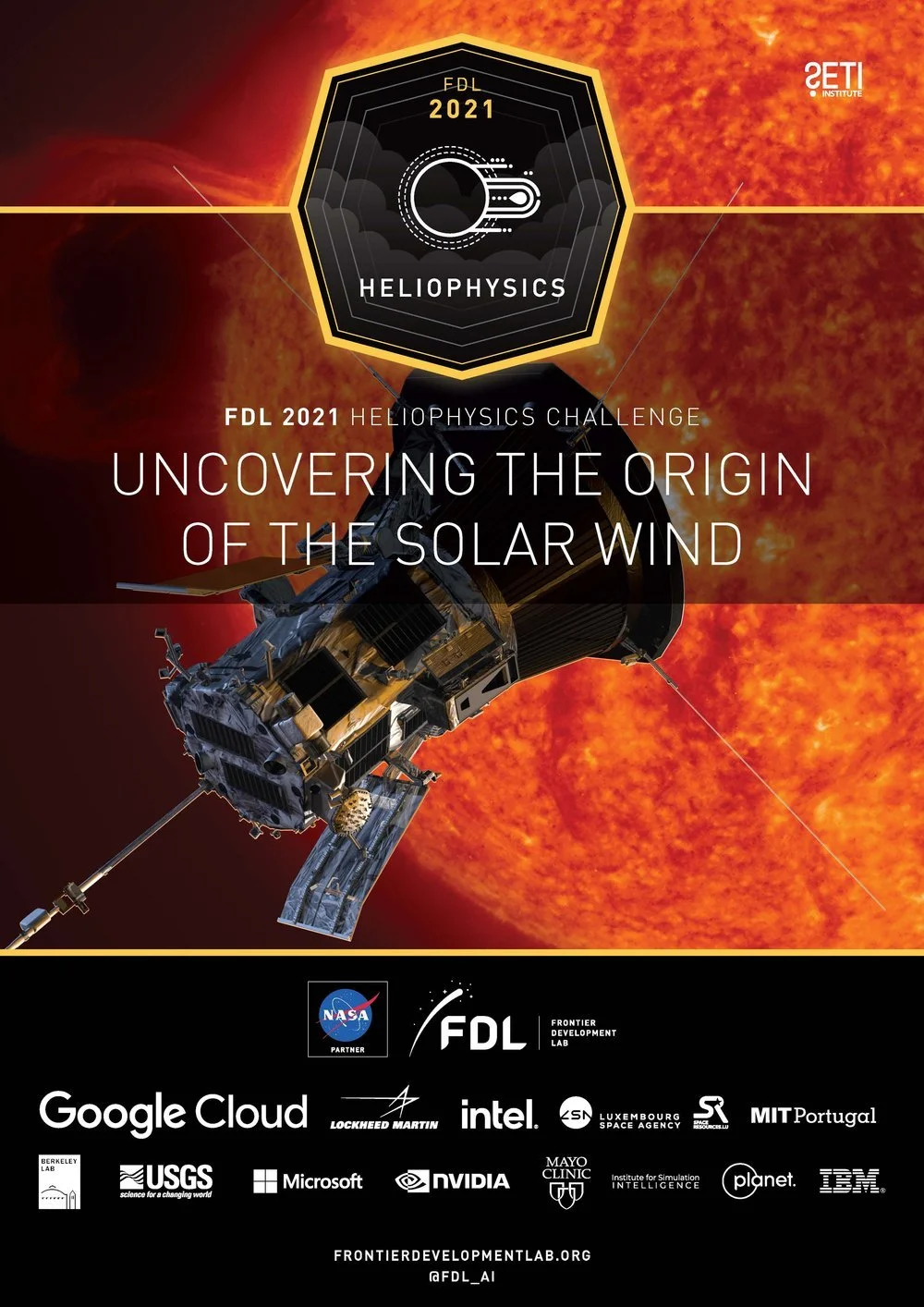
HELIOPHYSICS
UNCOVERING THE ORIGIN OF THE SOLAR WIND
Can AI help us find the complex structures in the solar wind?
The Earth and all planets are embedded in the extended Solar atmosphere, which we call the solar wind. Since its discovery in the late 50s, heliophysicists have learned much about its properties, but its origin remains a mystery. The Parker Solar Probe (PSP) has been collecting a wealth of solar wind measurements at unprecedented proximity to the solar corona which have revealed an incredible amount of magnetic structure and complexity. Like the pearls of amber that give us information about the Earth’s past, these time-series observations of the magnetic field and solar wind plasma contain key information about the origin of the solar wind frozen into magnetic structures.
Solar wind time-series are single point measurements of traveling large-scale 3D structures. The goal of this challenge is to reconstruct a comprehensive understanding of these structures and how they connect to solar wind acceleration. We employ machine learning to identify and characterize the signatures of magnetohydrodynamic discontinuities in the solar wind (such as folded magnetic field lines) known as switchbacks. We use solar wind measurements made by the Parker Solar Probe near the Sun and the Advanced Composition Explorer (ACE) near Earth. The relative abundance of switchbacks as seen in both instruments is critical to validating, or falsifying, one of the dominant theories of the origin of the Solar Wind: that it starts as discrete jets of plasma that morphs into a coherent global wind further from the Sun.


-
-
Uncovering the Origin of the Solar Wind
Researchers: Hala Lamdouar, Marcella Scoczynski, Nathan Miles, Sudeshna Boro Saikia, Amanda Camarata, Mavis Stone
Teamleads: Andrés Muñoz-Jaramillo, Anna Jungbluth, Sairam Sundaresan, Anthony Sarah, Adam Szabo -
NeurIPS ML4PS - Deep-SWIM: A few-shot learning approach to classify Solar WInd Magnetic field structures
Authors: Hala Lamdouar, Sairam Sundaresan, Anna Jungbluth, Sudeshna Boro Saikia,Amanda Joy Camarata, Nathan Miles, Marcella Scoczynski, Mavis Stone, Anthony Sarah, Andrés Muñoz-Jaramillo, Ayris Narock, Adam Szabo.
AGU 2021 - Board 0402 - Classification of Solar Wind Discontinuities Using Supervised Machine Learning
Authors: Hala Lamdouar, Sairam Sundaresan, Anna Jungbluth, Sudeshna Boro Saikia,Amanda Joy Camarata, Nathan Miles, Marcella Scoczynski, Mavis Stone, Anthony Sarah, Andrés Muñoz-Jaramillo, Ayris Narock, Adam Szabo.
AGU 2021 - Board 0572 - Classification of Solar Wind Structures via Unsupervised Machine Learning
Authors: Hala Lamdouar, Sairam Sundaresan, Anna Jungbluth, Sudeshna Boro Saikia,Amanda Joy Camarata, Nathan Miles, Marcella Scoczynski, Mavis Stone, Anthony Sarah, Andrés Muñoz-Jaramillo, Ayris Narock, Adam Szabo.

HELIOPHYSICS
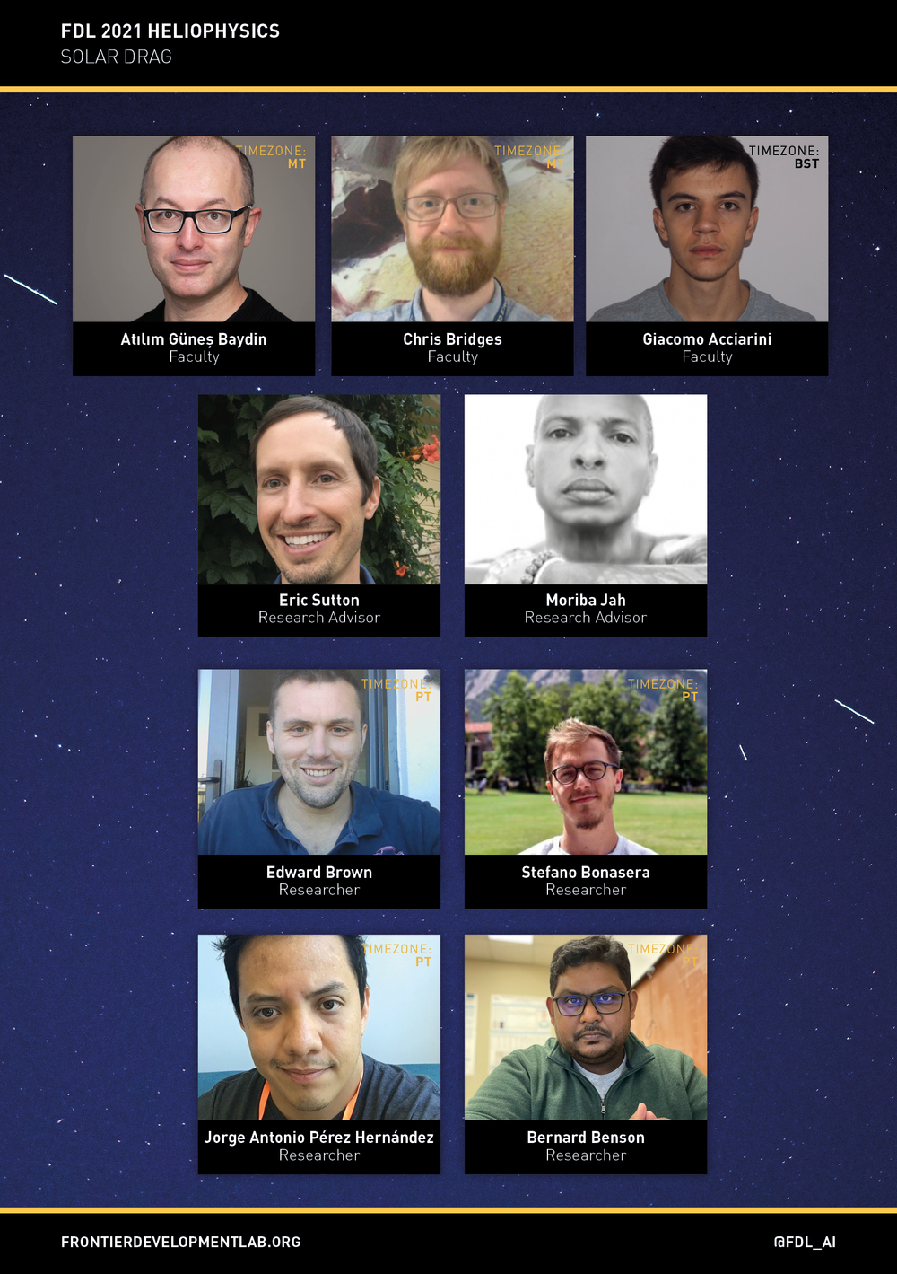
SOLAR DRAG
Can we use AI to understand the Sun’s influence on space traffic?
Due to the complex solar activity interaction with the Earth atmosphere, the prediction of thermospheric density in orbital regions is significantly uncertain. These uncertainties have consequences in re-entry, end-of-life, break-up assessment, orbit determination, fuel use, communications, collision risk, attitude and orbit control systems (AOCS), and failure detection isolation and recovery (FDIR). The objective of this year’s FDL.AI 2021 Solar Drag team is to investigate the use of machine learning and develop data-driven methods to predict and extract patterns of behavior from space weather and heliophysics data to improve the determination and assessment of resident space objects’ trajectories.


-
-
Solar Drag: Learning how the Sun affects spacecraft orbits
Authors: Bernard Benson, Stefano Bonasera, Edward Brown, Jorge A. Pérez-Hernández, Giacomo Acciarini, Atılım Güneş Baydin, Eric Sutton, Christopher P. Bridges, Moriba K. Jah . -
Simultaneous Multivariate Forecast of Space Weather Indices using Deep Neural Network Ensembles - DOI
Authors: Stefano Bonasera, Giacomo Acciarini, Jorge A. Pérez-Hernández, Bernard Benson, Edward Brown, Eric Sutton, Moriba K. Jah, Christopher Bridges, Atılım Güne¸s Baydin.
-
NeurIPS ML4PS - Simultaneous Multivariate Forecast of Space Weather Indices using Deep Neural Network Ensembles
Authors: Stefano Bonasera, Giacomo Acciarini, Jorge A. Pérez-Hernández, Bernard Benson, Edward Brown, Eric Sutton, Moriba K. Jah, Christopher Bridges, Atılım Güne¸s Baydin.
NeurIPS ML4PS - Learning the solar latent space: sigma-variational autoencoders for multiple channel solar imaging
Authors: Stefano Bonasera, Giacomo Acciarini, Jorge A. Pérez-Hernández, Bernard Benson, Edward Brown, Eric Sutton, Moriba K. Jah, Christopher Bridges, Atılım Güne¸s Baydin.
NeurIPS Bayesian Deep Learning Workshop - Dropout and Ensemble Networks for Thermospheric Density Uncertainty Estimation
Authors: Stefano Bonasera, Giacomo Acciarini, Jorge A. Pérez-Hernández, Bernard Benson, Edward Brown, Eric Sutton, Moriba K. Jah, Christopher Bridges, Atılım Güne¸s Baydin.
ASTRONAUT HEALTH
SPACE MEDIC: CAUSAL INFERENCE FOR OUT-OF-DISTRIBUTION GENERALIZATION
Are the causal mechanisms driving physiological effects of radiation exposure shared between model organisms and humans?
The physiological effects of radiation exposure are a health risk for a variety of groups, including cancer patients undergoing radiotherapy, and astronauts in space. To investigate physiological effects of radiation exposure, the 2021 FDL.AI Astronaut Health team will leverage the Causal Relation and Inference Search Platform (CRISP). CRISP was designed during the 2020 FDL.AI Challenge to identify candidate biomarkers of disease progression in heterogeneous multi-omics data. In 2021, the team will expand CRISP’s capabilities, including drawing on federated learning strategies, and evaluate the compatibility of mouse and human radiation exposure data in order to make the best use of existing rodent model data.


-
-
Astronaut Health Team: Causal inference for out-of-distribution generalization
Authors:
Paul Duckworth, Odhran O’Donoghue, Linus Scheibenreif, Giuseppe Ughi, Adrienne Hoarfrost, Sam Budd, Kia Khezeli, Patrick Foley and Shashi Jain, Graham Mackintosh, Frank Soboczenski, Lauren Sanders, -
Invariant Risk Minimisation for Cross-Organism Inference: Substituting Mouse Data for Human Data in Human Risk Factor Discovery - DOI
Authors: Odhran O'Donoghue, Paul Duckworth, Giuseppe Ughi, Linus Scheibenreif, Kia Khezeli, Adrienne Hoarfrost, Samuel Budd, Patrick Foley, Nicholas Chia, John Kalantari, Graham Mackintosh, Frank Soboczenski, Lauren Sanders
-
NASA HRP IWS - Federated casual inference for predicting radiation exposure effects in out-of-distribution settings - BIB - Paper
Authors: Odhran O'Donoghue, Paul Duckworth, Giuseppe Ughi, Linus Scheibenreif, Kia Khezeli, Adrienne Hoarfrost, Samuel Budd, Patrick Foley, Nicholas Chia, John Kalantari, Graham Mackintosh, Frank Soboczenski, Lauren Sanders
NeurIPS 2021 Federated Workshop - Leveraging Invariance in non-i.i.d Federated Learning
Authors: Odhran O'Donoghue, Paul Duckworth, Giuseppe Ughi, Linus Scheibenreif, Kia Khezeli, Adrienne Hoarfrost, Samuel Budd, Patrick Foley, Nicholas Chia, John Kalantari, Graham Mackintosh, Frank Soboczenski, Lauren Sanders
AGU 2021 - Federated causal inference for out-of-distribution generalization in predicting physiological effects of radiation exposure - Abstract
Authors: Odhran O'Donoghue, Paul Duckworth, Giuseppe Ughi, Linus Scheibenreif, Kia Khezeli, Adrienne Hoarfrost, Samuel Budd, Patrick Foley, Nicholas Chia, John Kalantari, Graham Mackintosh, Frank Soboczenski, Lauren Sanders
Authors: Odhran O'Donoghue, Paul Duckworth, Giuseppe Ughi, Linus Scheibenreif, Kia Khezeli, Adrienne Hoarfrost, Samuel Budd, Patrick Foley, Nicholas Chia, John Kalantari, Graham Mackintosh, Frank Soboczenski, Lauren Sanders
-
Gitlab - CRISP

PLANETARY SCIENCE
UPSCALING LUNAR RESOURCES
Can we use AI super-resolution to improve maps of the lunar poles?
Before they can return to the Moon for Good, future missions have to answer a number of fundamental and strategic questions: Where can we land? Where are potential science targets? How do we get there safely? Their best source of information are high resolution images that reveal small boulders, craters, and other features on the surface. Unfortunately, only a fraction of the lunar surface is covered by high resolution images. However, there are plenty of intermediate resolution images available. We propose to use machine learning-driven techniques to super-resolve intermediate to high resolution images. The improved images could have substantial value for lunar science and the imminent exploration of the Moon.


-
-
Upscaling Lunar Resources
Authors: Paula Harder, Jose Ignacio Delgado-Centeno, Siddha Ganju, Ben Moseley, Valentin Bickel, Miguel A. Olivares-Mendez -
Planetary Science and Astrobiology Decadal Survey 2023-2032 - Artificial Intelligence for the Advancement of Lunar and Planetary Science and Exploration - Paper
Authors: Indhu Varatharajan, Daniel Angerhausen, Eleni Antoniadou, Valentin Bickel, Mario D’Amore, Michele Faragalli, Ignacio López-Francos, Abhisek Maiti, Ross Potter, Carl Shneider, Shashwat Shukla, Frank Soboczenski, Nishan Srishankar, Ryan Watkins
NeurIPS ML4PS - Single Image Super-Resolution with Uncertainty Estimation for Lunar Satellite Images
Authors: Jose I. Delgado-Centeno, Paula Harder, Ben Moseley, Valentin T. Bickel, Siddha Ganju, Freddie Kalaitzis, Miguel A. Olivares-Mendez.

EARTH SCIENCE
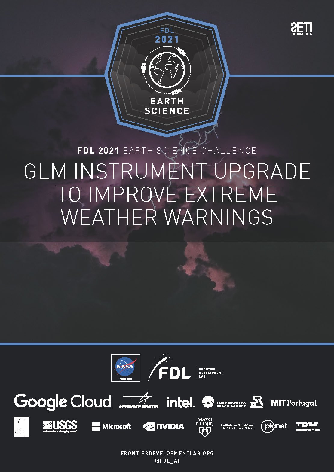
GEOSTATIONARY LIGHTNING MAPPER (GLM) INSTRUMENT UPGRADE TO IMPROVE EXTREME WEATHER WARNINGS
Can we use AI to improve the performance of a lightning detector?
Can ML give the GOES Geostationary Lightning Mapper (GLM) a mid-life performance upgrade to provide better data to weather forecasters and inform the next generation of instrumentation? The lightning Detection Efficiency (DE) and False Alarm Rate (FAR) of space-based optical lightning mappers is limited by the performance of algorithms. Can ML do better and dig more signal out of the noise while more intelligently limiting false alarms? The goal of this challenge is to use ML to give GLM a mid-life performance upgrade and develop a workflow that produces a refined dataset for the lightning research community and weather forecasters extending back to 2017.


-
-
GLM Instrument Upgrade to Improve Extreme Weather Warnings
Authors: Emma Benjaminson, Giulia Luise, Satyarth Praveen, J. Emmanuel Johnson, Nadia Ahmed, Milad Memarzadeh, Clem Tiller, Samantha Edington, Benny Lewis, Maria Molina. -
NeurIPS ML4PS - Detecting Spatiotemporal Lightning Patterns: An Unsupervised Graph-Based Approach
Authors: Emma Benjaminson, Satyarth Praveen, Giulia Luise, J Emmanuel Johnson, Richard Strange, Milad Memarzadeh, NASA USRA, Nadia Ahmed

EARTH SCIENCE
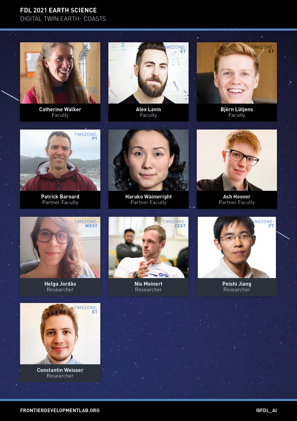
DIGITAL TWIN EARTH - COASTS
Can we use AI and physics to build a “digital twin Earth” of the coasts?
Can we build a digital twin of coastal inundation that synergistically combines data-driven machine learning models with known physical laws and domain knowledge? It turns out we can develop physics-informed neural networks (PINNs), a new class of deep learning that can seamlessly integrate data and abstract mathematical operators, including differential equations with or without missing physics. With PINNs we can leverage physics-based prior knowledge or constraints and produce interpretable ML methods that remain robust in the presence of imperfect data and can provide accurate and physically consistent predictions, even for extrapolation and generalization tasks. These features are essential for reliably modeling the harucomplex, dynamic nature of coastal regions with myriad, mixed-modality data sources (such as satellite imagery and oceanic measurements). We aim to develop this PINN-based digital twin for the entire USA and its territories, and potentially generalize to all coasts. We hope to forecast potential climate scenarios and discover new dynamics of coastal ecosystems with this digital twin.


-
-
Digital Twin Earth - Coasts
Authors: Peishi Jiang, Nis Meinert, Constantin Weisser,, Helga Jordão, Alexander Lavin, Catherine Walker, Björn Lütjens, Haruko Wainwright, Patrick Barnard. -
Digital Twin Earth -- Coasts: Developing a fast and physics-informed surrogate model for coastal floods via neural operators - DOI
Authors: Peishi Jiang, Nis Meinert, Helga Jordão, Constantin Weisser, Simon Holgate, Alexander Lavin, Björn Lütjens, Dava Newman, Haruko Wainwright, Catherine Walker, Patrick Barnard
-
Neurips 2021 ML4PS - Developing a fast and physics-informed surrogate model for coastal floods via neural operators
Authors: Peishi Jiang, Nis Meinert, Helga Jordão, Constantin Weisser, Simon Holgate, Alexander Lavin, Björn Lütjens, Dava Newman, Haruko Wainwright, Catherine Walker, Patrick Barnard.
Authors: Helga Jordão, Peishi Jiang, Constantin Weisser, Nis Meinert, Alexander Lavin, Catherine C Walker, Haruko M Wainwright, Simon Holgate, Björn Lütjens, Patrick Barnard.
-
Gitlab - Digital Twin Earth: Coasts Data Prep
Gitlab - Coastal Twin

EARTH SCIENCE
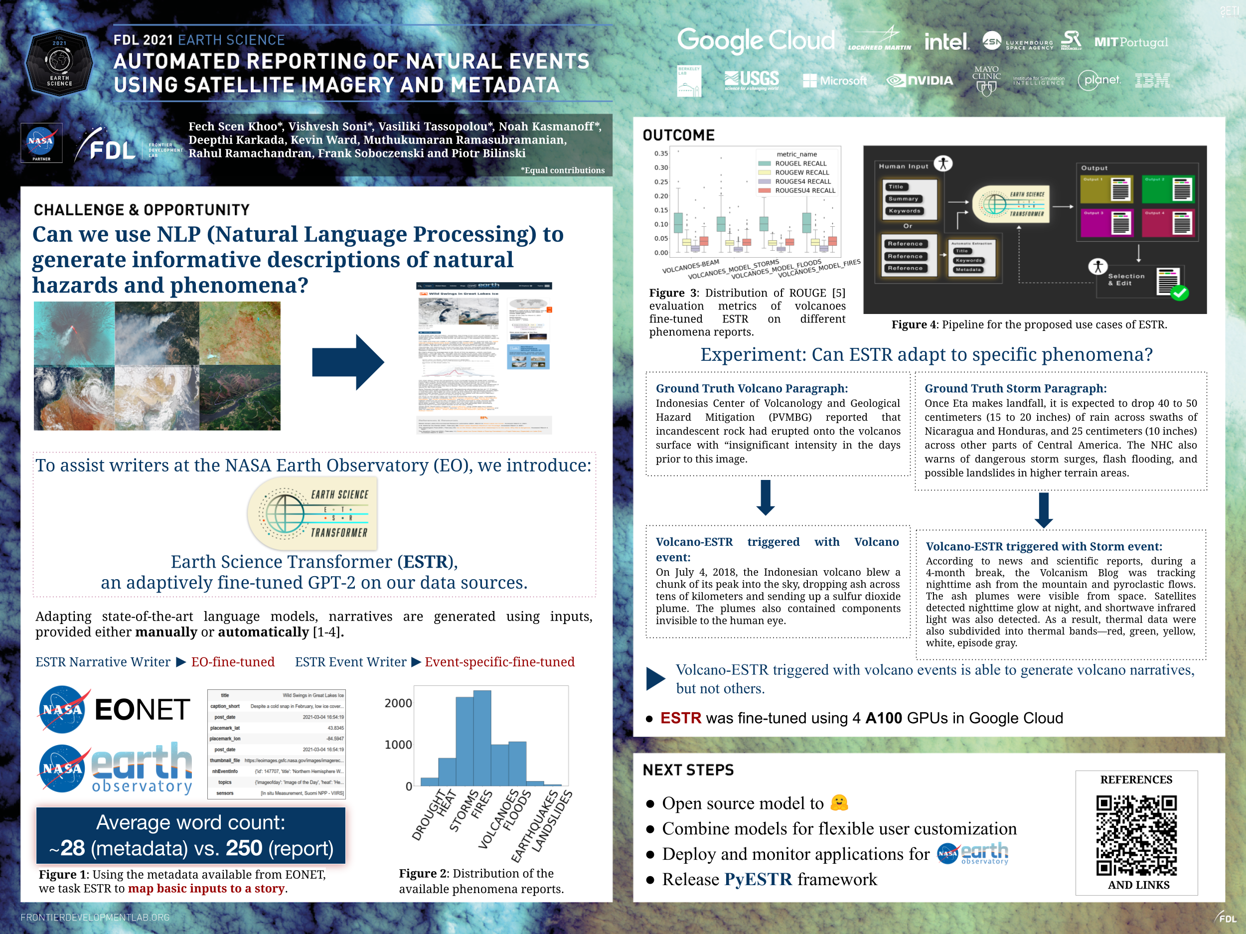
AUTOMATED REPORTING OF NATURAL EVENTS USING SATELLITE IMAGERY AND METADATA
Can we use AI to generate descriptions of natural hazards and phenomena?
Earth observing satellites continuously monitor our planet's natural environment. They observe a wide variety of natural phenomena that can be occurring anywhere at any time, tropical cyclones, wildfires, volcanic eruptions, floods, phytoplankton blooms, dust storms, and icebergs, to name a few. These events can be seen by means of browsing remote sensing imagery captured from these satellites and, of course, many types of events are captured and recorded by national and regional science organizations, e.g., the U.S. National Weather Service.
However, thKevin Wardese two mechanisms for observing natural events are not conducive to being consumed by the wider public or general popular media. To meet the needs of these wider audiences, a narrative reporting and/or labeling/annotation approach would provide an easier-to-consume package for users.
For this challenge, the team will pull together natural event metadata, remote sensing imagery, and other ancillary descriptive material to construct a brief narrative describing the natural events.


-
-
Automated Reporting of Natural Events Using Satellite Imagery and Metadata
Authors: Noah Kasmanoff, Vasiliki Tassopoulou, Fech Scen Khoo, Vishvesh Soni, Kevin Ward, Muthukumaran Ramasubramanian, Rahul Ramachandran, Frank Soboczenski, Piotr Biliński. -
Authors: Vasiliki Tassopoulou, Noah Kasmanoff, Vishvesh Soni, Fech Scen Khoo, Kevin Ward, Deepthi Karkada, Muthukumaran Ramasubramanian, Rahul Ramachandran, Frank Soboczenski, Piotr Biliński.